A new study reports Estonia’s climate was 2-3°C warmer and sea levels were 10-20 m higher ~7,300 years ago.
Comparing detailed maps from 1915 and 1904 to 2004 and 2021 aerial images reveals the sea waters have receded from the coasts of Estonia so acutely that lagoons are fast disappearing, islands are being transformed into peninsulas, and bays have reduced in size by 30-45%.
In the last seven millennia the coastal areas above sea level have expanded by 10s of kilometers due to falling water levels in this region, which is still ongoing thanks primarily to post-glacial uplift.
Sea level rise linked to climate change has not managed to offset natural geological processes.
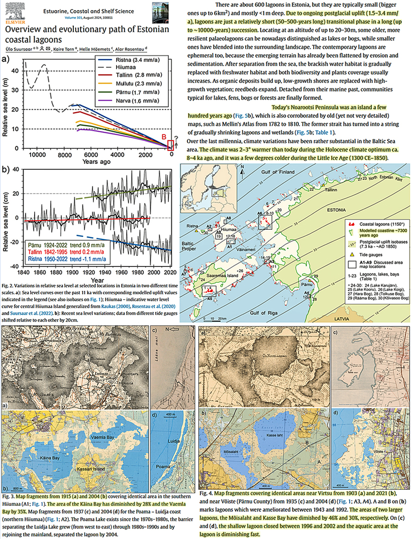
Image Source: Suursaar et al, 2024


[…] From NoTricksZone […]
Did the FALLING sea level wipe out humans, fauna & flora? If not, what should climate realists learn from ACTUAL ADAPTATION over the past 125 years?
The 2nd question is deliberately limited to climate realists. Because alarmists refuse to learn from ACTUAL experience, urging them to factor Estonia–and similar changes elsewhere–is a waste of effort.
Sea level does not mean what you thonk it does.
As the post-glacial isostatic rebound of the Baltic and Fennoscandian shields continues it will continue to wipe out the entire foreshore marine biome as the rising seabed becomes dry land.