Germany began the month of April with winter-like conditions, but the weather managed to warm up by mid month and ended up being just about normal, temperature-wise, according to the German Weather Service.
No sign of global warming.
For precipitation, it was drier than normal in Germany – for the 5th April in a row. The amount of sunshine was also slightly below average, according to the DWD. The results are based on measurements taken from 2000 surface stations across the country.
The DWD reports that the mean temperature for April was 8.2° Celsius, which is 0.8°C warmer than the relatively cool international reference period of 1961 – 1990, but 0.1°C cooler than the 1981 to 2010 period. And because March was far below normal, the 2013 MAM spring period so far is much cooler than normal.
The DWD writes that the temperature sank to -14°C in Stiege in the Harz region, where “vegetation was 3 weeks behind”. The warmest day was April 18, when a maximum temperature of 28.1°C was measured in Dresden-Strehlen.
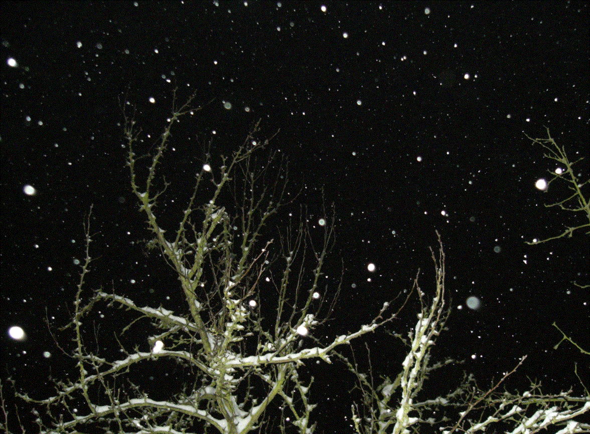
Photo: by P. Gosselin


Pierre, have you seen this?
“Cooling as indicated in Fig. 2 can therefore be predicted for the near future, in complete agreement with the lacking temperature increase since 15 years. The further future temperatures can be predicted to continue to decrease, based on the knowledge of the Fourier components. Finally we note that our analysis is compatible with the analysis of Harde who reports a CO2 climate sensitivity of 0.4 K per CO2 doubling by model calculations [3].”
http://joannenova.com.au/2013/05/fourier-analysis-reveals-six-natural-cycles-no-man-made-effect-predicts-cooling/#more-28075
Pierre. If precipitation falls as snow rather than rain, then surely there is less run-off as the ground can absorb the moisture more readily as the snow thaws over a period of days rather than with rain in hours. Have there been any studies on the efficacy of snow v rain for topping up a water table or aquifers?
To make the issue more complex I can add a local anecdote. The area in which we live is east of the Cascade Mountains in Washington State. We have a pronounced “rain shadow” effect and a total of about 8 to 10 inches (water depth equivalent) of precipitation each year. After rain or snow the relative humidity often becomes low with a prevailing NW wind being downslope and warming. When snow is on the ground in the early part of the year and stops blowing around landowners will plow the snow into rows. This reduces sublimation of the snow and allows more to seep into the ground while the area between the snow-rows warms more – being darker. The issue here is “soil water” (in the root zone, not necessarily contributing to water table or aquifers).
We also experience frozen ground some years and then “rain on snow” events produce rapid runoff and local flooding.
Just across the border in The Netherlands the April anomaly is -1.1°C compared to the 1981-2010 baseline. This marks the 4th consecutive month in 2013 that is much colder than the 30 year normal.
That’s OK…. It was warmer than usual here in the south-west of Western Australia… following a very much wetter March.
Most Engineers who have even a passing familiarity with airconditioning will not be surprised by the fact that moist air retains more heat than dry air; and in doing so, will moderate the temperature extremes. i.e. Temperatures fluctuate more slowly under perturbation, due to the higher specific heat of a given parcel of air.
Temperatures, by themselves, are inadequate for determining the thermal state of a system.
DWD reckons that Schleswig-Holstein –SH- (between Hamburg and Denmark) was the coldest country in Germany in April 2013, and names as reason arctic air from the East. That ignores the fact that the North Sea and western Baltic Sea had been sub cold since early March 2013, different from the NE Baltic, which may have contributed to low temperature in SH and The Netherlands more than cold air from elsewhere.
For SST below average since early March 2013, see the following maps:
__15. March http://www.ocean-climate-law.com/13/Arch/_b/9_8_3b.jpg
__31. March http://www.ocean-climate-law.com/13/Arch/_b/9_8_4b.jpg
__24. April http://www.ocean-climate-law.com/13/Arch/_b/9_8_8b.jpg
Discussed here:
“ Met-Off loose talk on cold March 2013? North and Baltic Sea should not be ignored!”
___ http://www.ocean-climate-law.com/13/Arch/9_8.html, and
____ http://climate-ocean.com/2013/9_4.html on “’Urgent’ need to see if Arctic affects UK extreme cold? No! MetOffice should investigate the impact of human activities in the North- and Baltic Sea !“