Germany’s DWD national weather service reports that the country saw it’s third warmest winter on record (since 1881) and the 13th warmer than normal winter in a row. 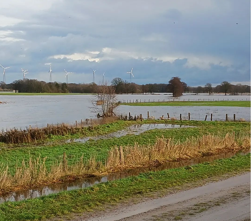
Germany’s 2023/24 winter was among the warmest and wettest on record going back to 1881. Photo: Artland Region, northwest Germany, by P. Gosselin
Record February high
Moreover, February set a new mean temperature record by a wide margin, as the German Weather Service (DWD) reported after initial evaluation of the results from its approximately 2,000 measuring stations.
The DWD writes that it was an “exceptionally mild weather” with very little winter weather. At a mean of +4.1 degrees Celsius, the average temperature in winter 2023/2024 was 2.7°C above the value of the 1991 to 2020 reference period (1.4 °C). Only the winters of 2006/2007 and 2019/2020 were warmer.
The coldest reading in Germany was -19.5 °C on January 20th, 2024, in Leutkirch-Herlazhofen. The warmest reading was measured in Rosenheim in Upper Bavaria, 18.8 °C, on February 16th.
Record rain in northern Germany
The very warm winter was in most part due to the prevailing westerly weather pattern, which persisted through most of the winter and brought in rain fronts from over the warm Atlantic. The colder northerly and easterly winds were seldom.
At around 270 liters per square meter (l/m²), almost 145 percent of the precipitation of the 1991-2020 reference period (190 l/m²). Parts of the north in particular were affected by historic December precipitation. At the top was Braunlage, in the Harz Mountains, with over 800 l/m².
At 156 hours, the duration of sunshine this winter in Germany saw a deviation of around 10 percent below the mean (170 hours). December was particularly gloomy.
The northern German lowlands were home to the gloomiest regions, with less than 100 hours in some areas.


[…] Related: Warm Atlantic Pattern: Germany Sees Warmest February, 3rd Warmest Winter On Record […]
Because of “climae warming” https://www.dailymail.co.uk/news/article-13153301/California-Tahoe-snow-storm-winds-damage-road-closed-I80.html
Besides the longer-term Altantic temperature oscillation, the major north- and equatorial-Pacific oscillations (PDO being highly negative, while ENSO was in a strong El Niño phase) were, during the winter, both in a phase where anomalously warm water (several degrees Celsius above average) dominates at the ocean’s surface. To my knowledge, the fact that ENSO and PDO are simultaneously in a positive phase during several winter months is climatologically a highly anomalous occurence. From a historical perspective, a strongly negative PDO is most likely to be accompanied by a La Niña (the negative-PDO and La-Niña temperature Pacific temperature distributions nicely complement each other) and in the (conditionally) rare occurence that an El Niño does also occur, the El Niño is at best of moderate or weak strength.
In general, years with a PDO in the negative phase correlate with a NAO+ weather-regime (west-circulation) in Europe, for which mild westerly winds prevail. The winter of 2023/24 however differed from the prototypical PDO-negative winter because of the simultaneous strong El Niño, enabling shorter spells of colder weather in December and January. February was however quite mild because the MJO (a phenomenon in the equatorial Pacific interfering with the northern jetstream) was in phases which correlate with mild weather in Europe. The absence of a highly positive PDO over the past decades in combination with a strong La Niña, in which northern-European blockades are favored, is one of the causes for the mild winters over the past years.
The highly anomalous simultaneous occurence of El Niño and PDO-negative could perhaps be interpreted as a starting-sign of a major reversal in global temperature trends. (Perhaps a related article: “Are ENSO Regime Changes Connected To Major Climate Shifts? Are We Tipping To Cooling?” issued 19/04/2023 on NoTricksZone)
The fact that such anomalously large portions of the Pacific had above-average temperatures makes it quite remarkable that numerous locations on temperate and polar northern lattitudes (east-Siberia, NE-Europe and Scandinavia, parts of central Canada and USA) still experienced some of the coldest periods of winter-weather in many decades (Scandinavia having temperatures up to -44C, NE-China experiencing a ~70-year record cold wave in Dec. 2023, the coldest Republican causus in Iowa (since 1976), etc.), while arctic ice-extents as the total NH-snow cover and snow-mass equivalent were around or above the average values of the past decades.
ENSO is expected to go in the cold-water La Niña phase during 2024, while there are signs emerging that the PDO will transition into the positive phase (having relatively cold water in the central north Pacific and relatively warm water near the American coast). The particular combination of a highly positive PDO and a La Niña has produced some of the coldest winter periods in central Europe over the past century (the winters of 1936, 1940, 1941, 1986, 1987), so there certainly is potential for interesting weather the upcoming years.